Walking route - Mont de Grange from Châtel
Description
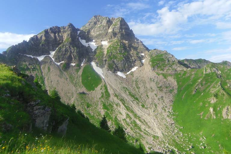
This massive mountain is the highest peak in the Abondance valley (2 432 metres) along with the Cornettes de Bise.
The breathtaking views from the top of the Mont-Blanc massif and the Swiss "4,000" (Monch, Jungfrau, Matterhorn, Grand Combin, etc...) will live up to your expectations.
There is a striking contrast between the less hospitable north-facing slopes and the south-facing slopes, with their many mountain pastures.
Start : The path is on your right 50 metres before the bridge from the Pré la Joux car park.
From the car park, follow the track and then the fairly steep path up towards the Betzalin mountain pasture through a beautiful spruce forest along the stream. At the end of this forest, you reach the mountain pasture, only to return under the trees by taking the carriage path on the left above the chalet: this takes you to the Covagnes mountain pasture. Here you reach the sub-alpine level of the mountain environment.
Pastoral activity is still present, in this case for the production of Abondance cheese. Take the path above the chalet, which winds up to a plateau, and turn right towards Lenlevay. The path then runs along the southern slopes of the Grange massif, from where you can gradually see Mont-Blanc.
To get to Mont de Grange, a path rises on your left after about 1 km before joining the Coicon ridge.
The path then winds up to the summit ridge, where you can enjoy one of the beautiful views in the Northern Alps.
The return journey takes the same route.